Scars of the Vietnam War
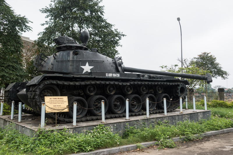
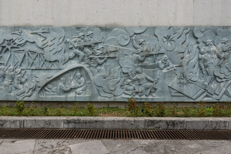
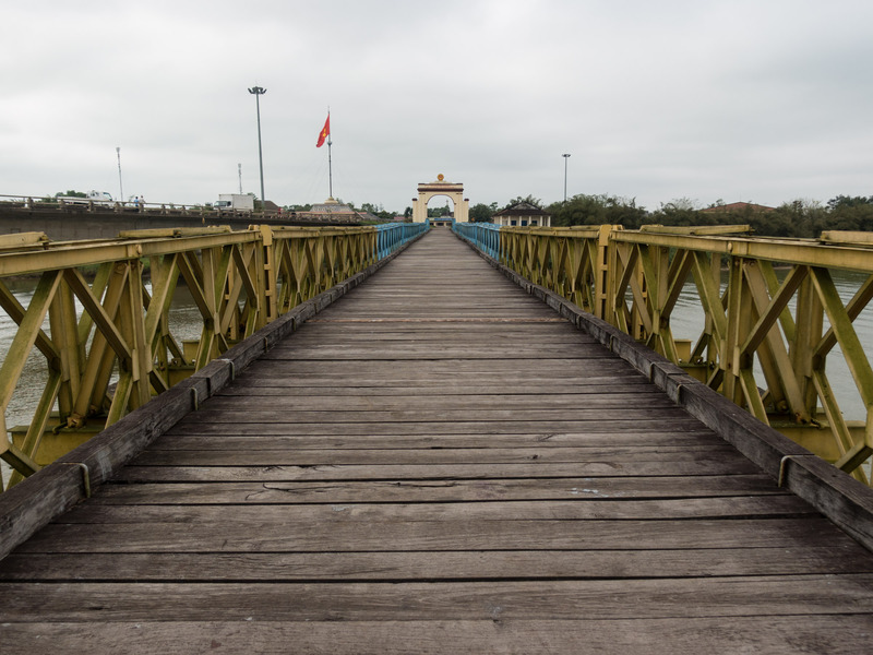
Quảng Trị Province is located in the middle of Vietnam, and is divided into two parts by the Bến Hải River. Following the Geneva Accords of 1954, this river, in conjunction with the 17th parallel, formed the border between Communist North and free-market South Vietnam. The Demilitarized Zone (DMZ) is the 10km border area that straddled the divide.
Jake and I decided that the best way to learn the history of the DMZ was to hire a guide. We organized a one-day tour at Tam’s Cafe, and met our guide there the following morning. Our guide, Hoa, was extremely knowledgeable and he was able to provide invaluable insight into the events of the war and how it impacted the people living in the area. He was a young boy during the war, and his family evacuated south from Đông Hà to avoid the fighting. Hoa has been giving tours of the DMZ for many many years, ever since Vietnam opened its doors to foreign tourism.
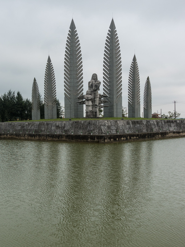
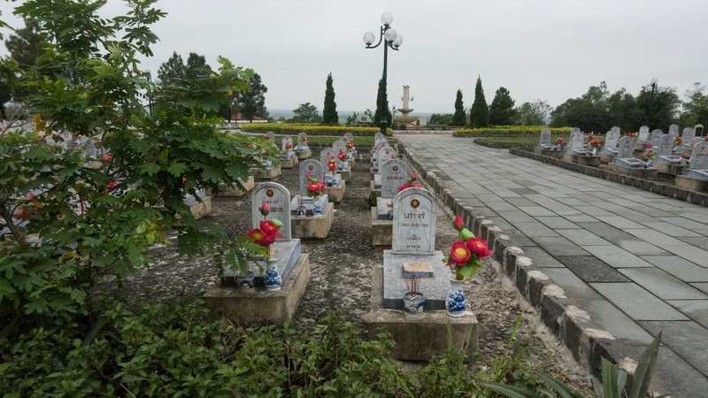
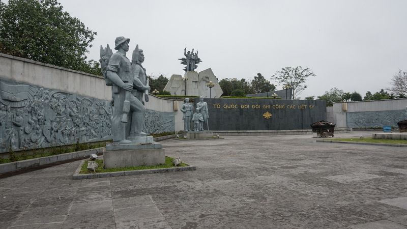
We started our tour by visiting a cemetery in Đông Hà for North Vietnamese soldiers. The Vietnamese government considers these fallen soldiers to be heroes and martyrs. During the war, North Vietnamese troops were usually buried near where they died; after the war, the bodies were reinterred in state cemeteries. However, many of the headstones are labeled chưa biết tên — unknown soldier.
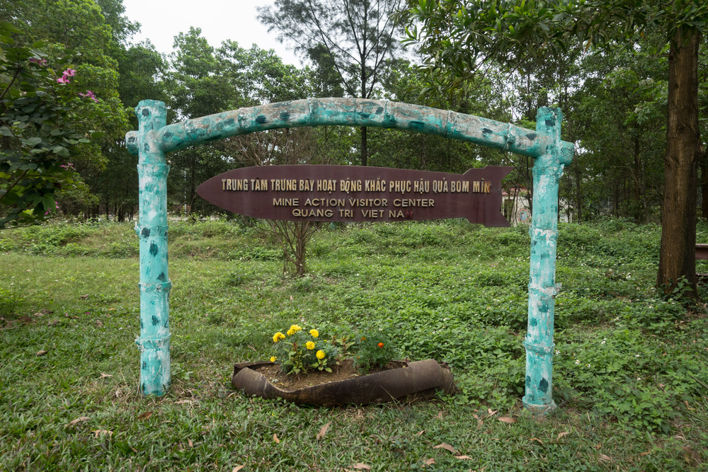
The US conducted heavy bombing exercises across much of Vietnam. Bombing efforts were concentrated on the DMZ and the North Vietnamese supply routes known as the Ho Chi Minh Trail. A staggering 700,000 tons of bombs were dropped on the small section of Quảng Trị Province north of the DMZ. Unexploded ordinance still pose a serious risk to people in Vietnam. However, the US government, initiated by President Clinton, pays for ongoing anti-mine efforts.
When fighting broke out in the DMZ, about 90% of the southern part of Quảng Trị Province evacuated south, away from the border. In contrast, people in Quảng Trị Province just north of the DMZ stayed in their villages; they aided the war effort by creating an occupied border that prevented northern movement of US and South Vietnamese troops. In South Vietnam, there was a definite divide between soldiers and civilians; in North Vietnam, particularly near the DMZ, there were only soldiers.
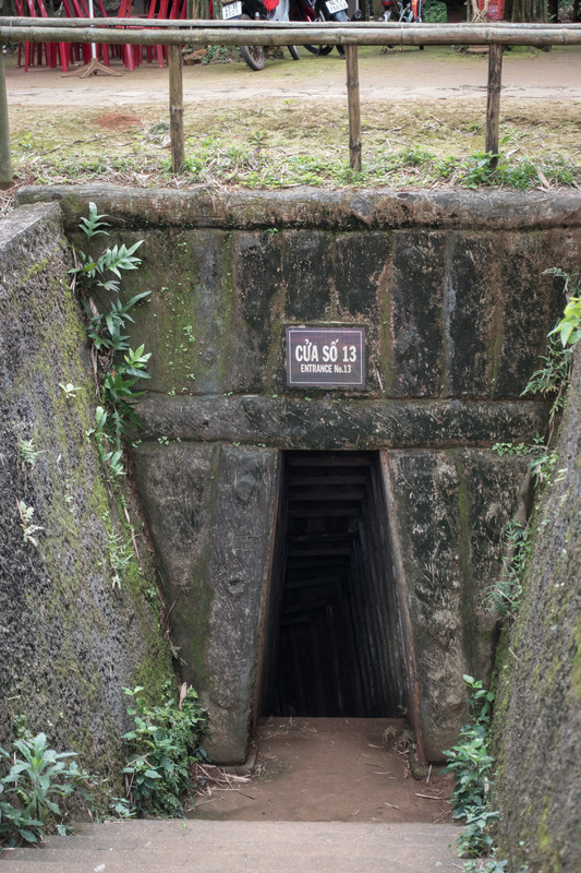
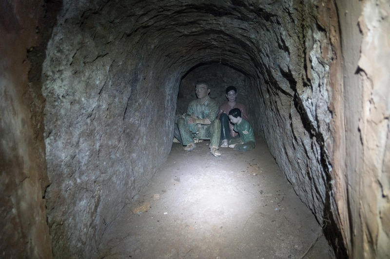
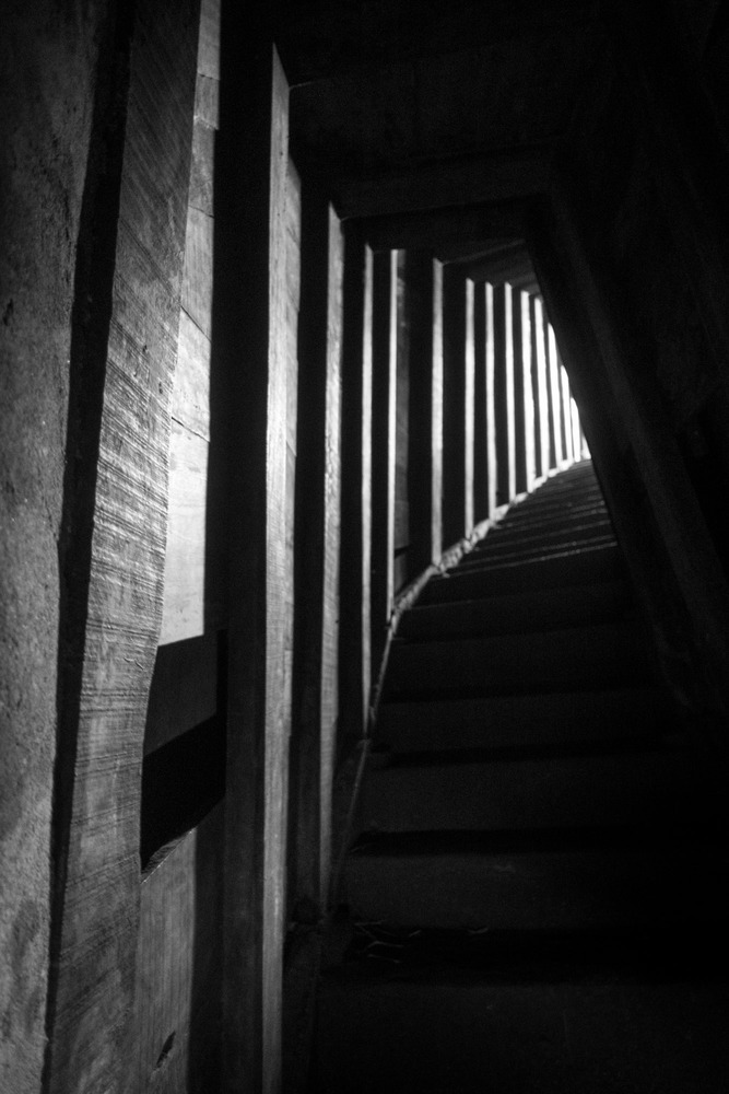
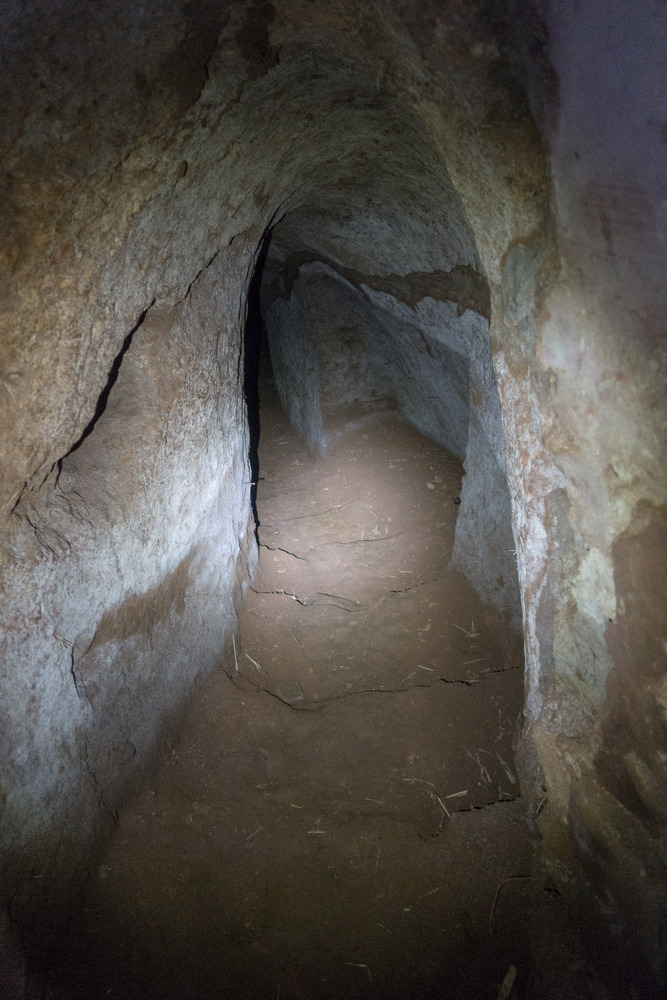
The village of Vinh Moc, in northern Quảng Trị Province, is an example of northern civilian involvement in the Vietnam War. When bombing by US troops began, the village constructed an elaborate tunnel network and the whole village moved underground. From there, they were able to watch for enemy troops and to supply North Vietnamese troops traveling south. Despite heavy bombing in the area, the entire village survived with no casualties. We were able to tour the claustrophobic tunnels. The tunnels were excavated using only farm tools, and on some of the dense clay walls, you can still see scrape marks left by the tools. There were only a couple of stretches where I didn’t feel a need to stoop, so you can imagine how cramped Jake’s back and neck felt by the time we exited. The tunnel structure consists of three floors; the top floor was used for food storage, the middle for living quarters, and the entire bottom floor for weapon storage. The living quarters seemed hardly big enough for a single adult to lie down in, and yet each room housed a whole family.
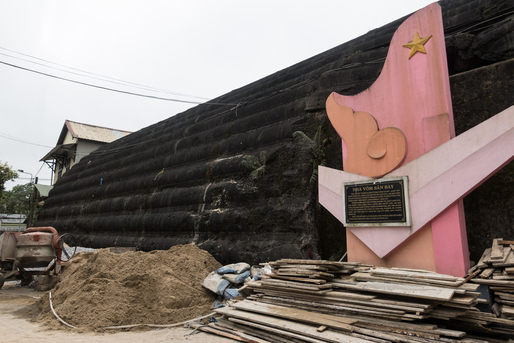
Đông Hà was originally a small village north of Quảng Trị, the provincial capital. When US troops arrived in the area, they turned the village into an important military base. After US troops were pushed south by North Vietnamese troops, US bombers returned to destroy all the buildings, airstrips, and supply stores. The Vietnamese government has preserved one aircraft hangar that survived the bombing. The hangar was partially damaged by two direct bomb hits, but the thick reinforced concrete walls prevented serious damage and collapse. It is now tucked away behind several other buildings and locals use it for storage. When Quảng Trị and Đông Hà were rebuilt after the war, the provincial capital was moved north to Đông Hà.
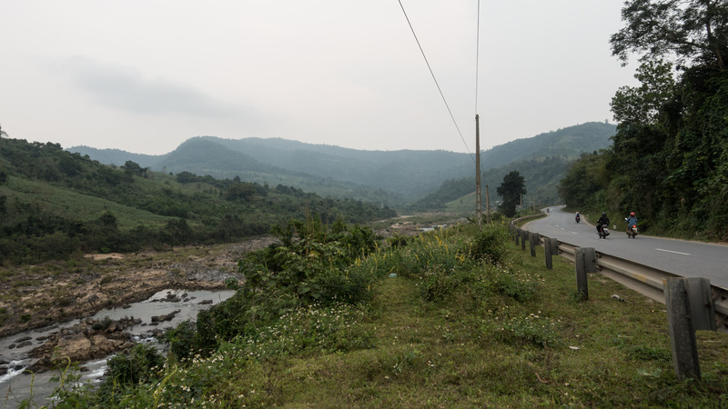
QL9, also known as Route 9, is a highway that runs east to west, just south of the DMZ. During the Vietnam War, this stretch of road was called McNamara’s Line. Robert McNamara was the US Secretary of Defense, and he argued for an unbroken line of surveillance extending from the ocean and into neighboring Laos. Maintaining this line was supposed to prevent southern infiltration by North Vietnamese troops. However, McNamara’s Line failed to achieve this goal. A number of US combat bases were built to support this line of defense.
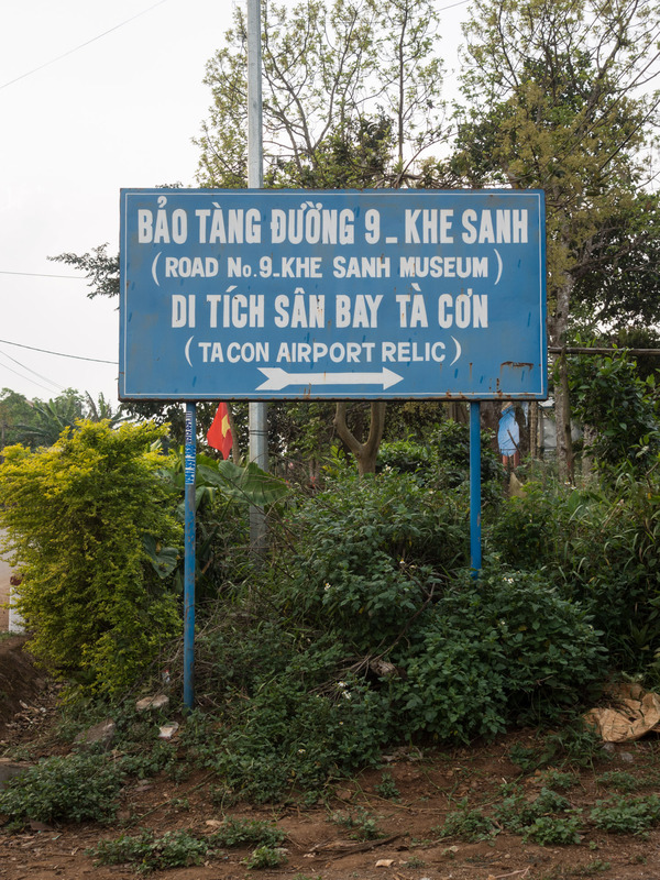
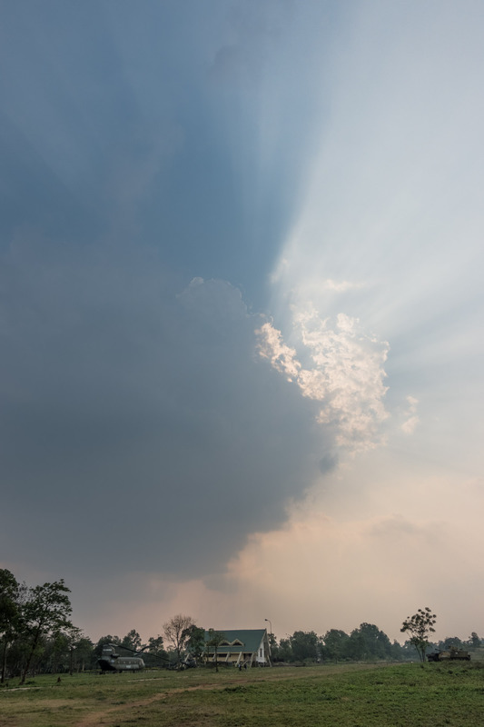
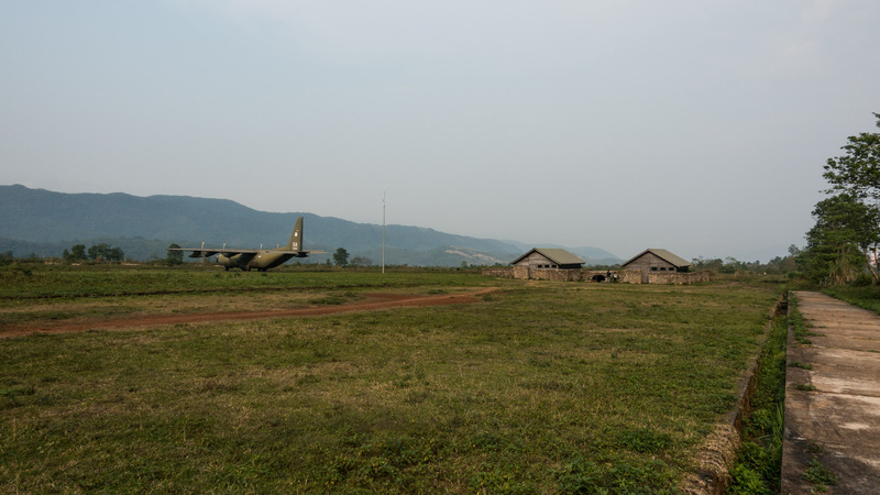
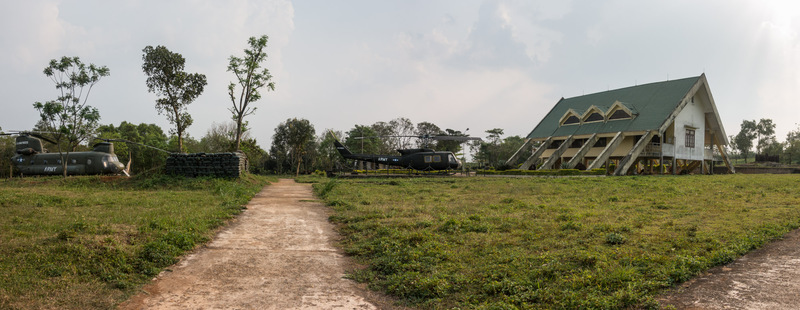
The day after our tour with Hoa, Jake and I drove along Route 9 and visited the site of Khe Sanh Combat Base, located near the Laotian border. Nothing remains of the original fortifications. During the Battle of Khe Sanh in 1968, North Vietnamese forces besieged American troops stationed at the base and continuously bombed them for nearly 6 months. The American troops were eventually able to evacuate and destroy the base, aided by reinforcements and heavy bombing exercises.
